



The Chimney Tops Trail is a steep 3.5-mile round-trip hike in Great Smoky Mountains National Park that now ends at an observation point, not the summit. The last quarter mile to the rocky peaks has been closed since the 2016 Chimney Tops 2 Fire. The trailhead is on Newfound Gap Road (US 441), about 7 miles from Sugarlands Visitor Center, and its lot has only 34 parking spaces, so arrive early or take a shuttle.
It is short, but it is not easy. Here is what the hike is like today, where to park, and what changed after the fire.
Chimney Tops Trail at a Glance
| Details | |
|---|---|
| Distance | 3.5 miles (5.6 km) round trip |
| Ends at | An observation point below the closed summit |
| Difficulty | Steep, with stone stairs, roots and rocks |
| Trailhead | Chimney Tops Trailhead, Newfound Gap Road (US 441) |
| Driving distance | About 7 miles from Sugarlands Visitor Center, 22 miles from Oconaluftee Visitor Center |
| Parking | 34 spaces; parking tag required |
| Reservations | Not required |
| Dogs | Not allowed |
| Nearest restroom | Sugarlands Visitor Center |
Can You Still Hike to the Top of Chimney Tops?
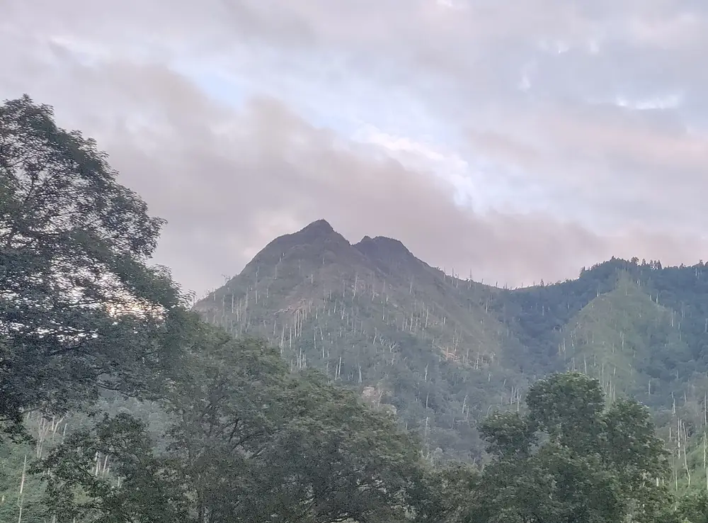
No. Severe fire and high winds during the Chimney Tops 2 Fire stripped away much of the trees and soil near the summit and left bare, unstable rock. The park closed the last quarter mile of the trail and built an observation deck where you can see the Chimney Tops summits from a distance, according to the National Park Service.
The NPS is clear about this: do not go past the gate or enter the closed area. The park is using repeat photography to decide when the summit area may be stable enough to reopen the trail.
How Hard Is the Chimney Tops Trail?
It is a short but demanding climb. The NPS trail page describes steep inclines, a few bridge crossings early on and stone stairs, and notes that the trail is steep with roots and rocks along the way. Wear shoes with good grip, carry water, and give yourself more time than the distance suggests.
Before the fire, the trail climbed through a forest of red spruce, yellow birch and rhododendron. Today the upper slopes are regrowing, and NPS photos from 2025 show fire cherry and birch filling in the burned areas.
Where Do You Park for Chimney Tops?
Park at the Chimney Tops Trailhead on Newfound Gap Road (US 441), roughly 7 miles from Sugarlands Visitor Center on the Gatlinburg side and 22 miles from Oconaluftee Visitor Center on the North Carolina side. The lot has just 34 spaces, and the NPS warns to expect extreme crowding and full parking.
You need a parking tag to park anywhere in the park for more than 15 minutes: $5 a day, $15 a week or $40 a year. A tag does not guarantee a space.
Should You Take a Shuttle?
The NPS recommends it. Several authorized companies stop at Chimney Tops Trailhead, and the park lists them on its shuttles page. Most shuttle services run March through October, so book your ride before you start hiking, since park staff cannot book it for you and cell service is limited.
What Happened in the Chimney Tops 2 Fire?
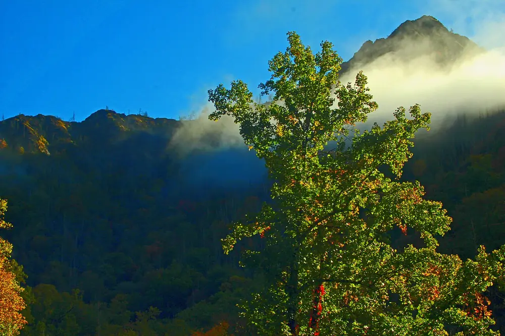
The Chimney Tops 2 Fire was reported at about 5:30 p.m. on November 23, 2016, on the Chimney Tops, a remote area of vertical cliffs and narrow rocky ridges. On November 28, exceptional drought and winds that gusted up to 87 mph spread it rapidly. According to the NPS fire summary, about 11,000 acres burned inside the park and about 6,000 acres outside it in Sevier County. The fire was human-caused.
It was called Chimney Tops 2 because a separate, quarter-acre fire had burned in the same area earlier that month and was put out.
Easier Hikes Nearby
If the lot is full or you want something gentler, the NPS suggests two alternatives:
- West Prong Trail: 5.4 miles round trip
- Cove Hardwood Nature Trail: 0.75 miles round trip
Hiking with a dog? Pets are allowed on only two park trails, the Gatlinburg Trail and the Oconaluftee River Trail.
Tips for Hiking Chimney Tops
- Go early or take a shuttle. With 34 spaces, the lot fills fast.
- Buy your parking tag first. It is required for stops longer than 15 minutes.
- Use the restroom at Sugarlands. There is none at the trailhead.
- Stop at the observation point. The closed section is unstable.
- Check current closures on the park’s cautions and closures page before you go, especially in winter.
Deciding where to base yourself? Read Gatlinburg vs Pigeon Forge and our Smoky Mountains vs Blue Ridge Mountains comparison.
The Chimney Tops Trail is 3.5 miles (5.6 km) round trip from the trailhead on Newfound Gap Road to the observation point.
No. The last quarter mile to the summit has been closed since the 2016 Chimney Tops 2 Fire left the area unstable. The trail ends at an observation deck with views of the summits.
Yes, for its length. The trail is steep, with stone stairs, roots and rocks, and the NPS warns of steep inclines.
No reservation is needed, but you need a parking tag to park for more than 15 minutes. The trailhead lot has only 34 spaces.
No. Dogs are only allowed on the Gatlinburg Trail and the Oconaluftee River Trail in Great Smoky Mountains National Park.
The trailhead is on Newfound Gap Road (US 441), about 7 miles from Sugarlands Visitor Center and 22 miles from Oconaluftee Visitor Center.
Sources: NPS: Hike to Chimney Tops Overlook (updated August 15, 2026); NPS: Chimney Tops 2 Fire Repeat Photography; NPS: Chimney Tops 2 Fire; NPS: Shuttles; NPS: Fees and passes. Photos via Wikimedia Commons: Thomson200 (CC0, featured image with a RoamManual title banner added), ChrisWx (CC BY-SA 4.0) and Mark Steele (public domain). Last checked November 8, 2026.