


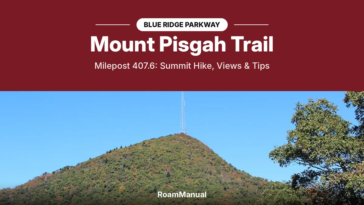
The Mount Pisgah Trail starts at milepost 407.6 on the Blue Ridge Parkway, about 45 minutes southwest of Asheville, and climbs 712 feet in 1.6 miles to a summit platform at roughly 5,721 feet. The round trip is about 3.2 miles and takes 2 to 3 hours. The first half is gentle; the second half is steep and rocky, so the NPS rates it moderate to strenuous.
The reward is one of the best views near Asheville: the French Broad River valley, the Shining Rock Wilderness and, on a clear day, the city itself. This guide covers the trail step by step, parking, the Pisgah Inn and campground, and when the area is open.
Mount Pisgah Trail Key Facts
| Trailhead | Far end of the Mount Pisgah parking area, Blue Ridge Parkway milepost 407.6, NC |
| Distance | 1.6 miles each way, about 3.2 miles round trip |
| Elevation gain | 712 feet |
| Summit | About 5,721 feet, with a wooden viewing platform and a TV tower |
| Difficulty | Moderate to strenuous; steep and rocky in the second half |
| Time | 2 to 3 hours round trip |
| Fee | None |
| Dogs | Allowed on a leash |
| Nearby | Pisgah Inn (MP 408.6, open April to October) and Mount Pisgah Campground |
| Road status | Parkway open from MP 405.5 to 411.9 (last checked November 8, 2026) |
Where Is the Mount Pisgah Trailhead?
Turn off the Parkway at milepost 407.6, drive past the Buck Springs Gap Overlook, and park at the end of the road. The trailhead sign is at the far end of the lot. You can see where you are going before you start: the tall TV tower on the nearest high peak marks the summit.
| From | Drive time | Route |
|---|---|---|
| Downtown Asheville | About 45 minutes | Parkway south from the US 25 entrance at MP 388.8 |
| Brevard | About 40 minutes | US 276 north to the Parkway at MP 411.8, then north |
| Waynesville | About 45 minutes | US 276 south to the Parkway at MP 411.8, then north |
There is no gas on the Parkway, so fill up before you go. If you are driving the whole road, add this stop to our Blue Ridge Parkway road trip.
How Hard Is the Mount Pisgah Trail?
The NPS calls it moderate to strenuous, and that matches how it feels. The first half is a pleasant walk through northern red oak forest with a thick shrub layer, and in spring and early summer it is full of birdsong. The second half turns into a steep, rocky climb with uneven stone steps and roots.

- Wear hiking shoes with good grip; the rocks are slick after rain or in fog
- Bring water, even for a short hike; there is none on the trail
- Use trekking poles if you have them; they help most on the way down
- Allow extra time on the descent, which is harder on the knees than the climb
- Start early on summer and fall weekends, when parking is tight
Want more trails in the area? See our best hikes near Asheville.
What Can You See From the Summit?
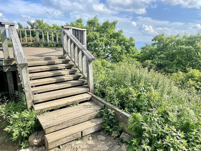
The trail ends on a heath bald with a wooden observation platform next to the TV tower. From the platform you look over the French Broad River valley, the Shining Rock Wilderness and rows of Blue Ridge peaks. On a clear day you can pick out the city of Asheville to the northeast.
The mountain is named after the biblical peak from which Moses first saw the promised land; the NPS notes the name was first recorded here in 1808. In the late 1800s, George Vanderbilt bought Mount Pisgah and thousands of surrounding acres while building the Biltmore Estate, and used it as a private hunting retreat.
When Is the Best Time to Hike Mount Pisgah?
| Season | What to expect | Verdict |
|---|---|---|
| Spring (April to May) | Wildflowers and birdsong; Pisgah Inn reopens April 1 | Good |
| Summer (June to August) | Cool at this elevation, but busy and often hazy | Good |
| Fall (October) | Peak colors and clear views; busiest season | Best |
| Winter (November to March) | Inn and campground closed; road may close for ice | Check road status |
Clear, dry mornings give the best views. Afternoon storms are common in summer, and the summit is exposed, so head down if you hear thunder.
Is Mount Pisgah Open Now?
As of November 8, 2026, the Parkway is open through the Mount Pisgah area, from milepost 405.5 to 411.9. The trail is open whenever the road is open. In winter, this high section often closes for snow and ice, so always check the NPS road status page before you drive up.
The Pisgah Inn and the campground are seasonal. Both are closed for winter now and reopen in spring.
Pisgah Inn, Campground and Other Trails
- Pisgah Inn (MP 408.6). A lodge and restaurant with mountain-view rooms, open April 1 to October 31. The restaurant serves breakfast, lunch and dinner, with reservations up to 14 days ahead. See the Pisgah Inn website.
- Mount Pisgah Campground. 125 sites at 4,980 feet, the highest campground on the Parkway, at $30 a night. The 2026 season ran May 22 to October 25. Book on the NPS campground page.
- Picnic area. Tables and seasonal restrooms, linked to the trailhead by a connector trail.
- Shut-In Trail. A 16-mile National Recreation Trail along Vanderbilt’s old hunting route, part of the Mountains-to-Sea Trail, passing near the trailhead.
- Buck Spring Trail. A shorter walk to the site of Vanderbilt’s Buck Spring Lodge, where ruins of the lodge remain.
Tips for Hiking Mount Pisgah
- Bring a warm layer; the exposed summit is cooler and windier than Asheville
- Pack out everything and stay on the trail to protect the summit plants
- Keep dogs leashed; the trail is narrow and busy on weekends
- Pair the hike with nearby stops such as Looking Glass Rock Overlook or Graveyard Fields
Planning more of the Parkway? Read our Linn Cove Viaduct guide, the Waterrock Knob trail guide, or browse every guide in our Blue Ridge Parkway travel guides.
The Mount Pisgah Trail is 1.6 miles each way, about 3.2 miles round trip, with 712 feet of climbing. Most hikers take 2 to 3 hours, including time at the summit platform.
The NPS rates it moderate to strenuous. The first half is a gentle forest walk, but the second half is steep and rocky, with uneven stone steps. Good shoes and plenty of time for the descent help.
The Mount Pisgah trailhead is at milepost 407.6, at the far end of the Mount Pisgah parking area. The Pisgah Inn is a mile south at milepost 408.6.
Mount Pisgah is about 45 minutes from downtown Asheville. Take the Blue Ridge Parkway south from the US 25 entrance at milepost 388.8 to milepost 407.6.
The trail is open whenever the Parkway is open, but this high section often closes for snow and ice in winter. The Pisgah Inn and campground close for the season, so check the NPS road status page before you go.
Yes. On a clear day the summit platform looks out over the French Broad River valley and the Shining Rock Wilderness, and you can see the city of Asheville in the distance.
Sources: NPS: Mount Pisgah Trailhead; Blue Ridge Parkway Association: Mount Pisgah; NPS: Mount Pisgah Campground; Pisgah Inn; NPS road status and closures. Featured image: Mount Pisgah in October 2016 by Thomson200, CC0, with a RoamManual title banner. Road and facility status last checked November 8, 2026.