



Last updated: October 1, 2026
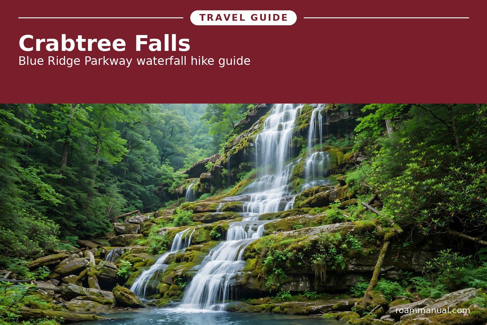
Two waterfalls in the Blue Ridge share the name Crabtree Falls, and hikers mix them up all the time.
This guide focuses on the North Carolina waterfall on the Blue Ridge Parkway. It also explains the Virginia falls, so you can tell the two apart and plan the right trip.
Crabtree Falls in North Carolina is one of the most loved waterfall hikes on the Parkway.
A 60-foot waterfall pours over rock tiers into a quiet pool, reached by a shaded loop trail from Milepost 339.5, near the small town of Little Switzerland.
Which Crabtree Falls?
The name Crabtree Falls belongs to two different waterfalls about 200 miles apart. Search results show both, so confirm which one you want before you drive.
Crabtree Falls, North Carolina sits on the Blue Ridge Parkway at Milepost 339.5 near Little Switzerland. It is a single 60-foot waterfall reached by a 2.5-mile loop trail. This is the waterfall this guide covers in detail.
Crabtree Falls, Virginia sits in the George Washington National Forest off VA Route 56 near Montebello.
It is a series of five cascades that drop about 1,200 feet in total. It ranks among the tallest waterfall systems east of the Mississippi River.
If your directions mention the Blue Ridge Parkway or Little Switzerland, you want North Carolina. If they mention Nelson County, Vesuvius, or Montebello, you want Virginia.
Crabtree Falls, North Carolina: The Essentials
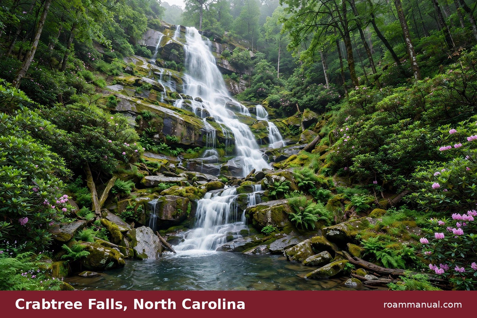
Crabtree Falls drops about 60 feet over layered rock into a clear pool shaded by forest. Cool spray from the falls feeds ferns and wildflowers in the hollow below.
The falls take their name from the crabapple trees that once dotted this area with pink blossoms. Today the land is mostly oak, birch, and hickory forest with thickets of rosebay rhododendron.
It ranks among the best waterfalls on the Blue Ridge Parkway for an easy half-day stop.
The hike is short enough for a morning outing but steep enough to feel like real exercise. Most hikers finish the full loop in one to one and a half hours.
Pack water, wear shoes with good grip, and plan to take your time on the stairs near the falls.
Crabtree Falls NC: Quick Facts
- Location: Blue Ridge Parkway, Milepost 339.5, near Little Switzerland, NC
- Waterfall height: about 60 feet
- Trail: 2.5-mile loop, about 574 feet of elevation gain
- Difficulty: moderate to strenuous, with stairs and a steep climb back up
- Time needed: 1 to 1.5 hours at a relaxed pace
- 2026 status: Hurricane Helene recovery work affects this area, so check NPS conditions before you go
The Crabtree Falls Trail: What to Expect
The trailhead sits at the Crabtree Falls parking area near the old camp store, about 0.3 miles from the campground kiosk.
Campground guests can start the hike right from the camping loops. Day visitors park in the main lot at Milepost 339.5.
The trail descends about 0.9 miles through mixed oak and hickory forest to reach the falls. Rosebay rhododendron lines much of the path, and wildflowers bloom along the route in spring. The path is well worn and easy to follow.
From here you have two choices. You can turn around and hike back up the same way for a shorter 1.8-mile round trip.
Or you can continue past the falls and complete the full loop, which climbs back to the parking lot on a steeper section with many stairs.
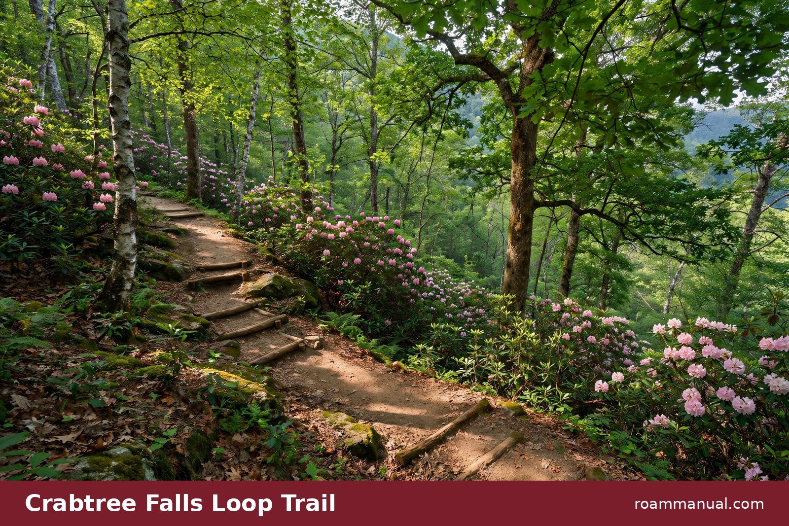
Most hikers do the full 2.5-mile loop clockwise. That order saves the steepest climbing for the return leg and spreads out the effort. Either way, expect a real climb back up. The elevation gain totals about 574 feet.
The falls themselves reward the effort. Water slides down a wide rock face into a pool framed by ferns and moss.
An overlook area gives you a clear view without scrambling on wet rock. The rocks near the base are slick, so stay on the marked viewing spots.
AllTrails rates the trail as moderate to strenuous, and that is fair. Fit beginners can handle it with breaks. The stairs near the falls are the hardest part. Hiking poles help on the climb back to the parking lot.
Dogs are welcome on the trail but must stay on a leash. During fall hunting season, wear bright colors on the trail, since hunters are active in the surrounding forest.
2026 Trail Status After Hurricane Helene
Hurricane Helene hit western North Carolina in September 2024 and damaged long stretches of the Blue Ridge Parkway. The corridor from Little Switzerland to Mount Mitchell, which includes Crabtree Falls, was one of the hardest hit areas.
As of October 2026, the parkway past Milepost 339.5 has reopened after phased repairs to landslides, slopes, drainage, and pavement. Recovery work continues farther south, on the stretch between NC-80 and Mount Mitchell.
Officials have said they expect the full North Carolina section of the Parkway to reopen by the end of 2026, but dates depend on weather and construction progress.
Crabtree Falls Campground is closed for the entire 2026 season because of Helene damage. In some closed sections, the Park Service bars not just cars but also hiking and other recreation, since the landscape remains unstable.
Check the official NPS Blue Ridge Parkway road status page before you plan a trip. Conditions change as repair phases finish. Do not enter closed areas, even on foot, since the ground near damaged slopes can give way without warning.
Crabtree Falls Campground
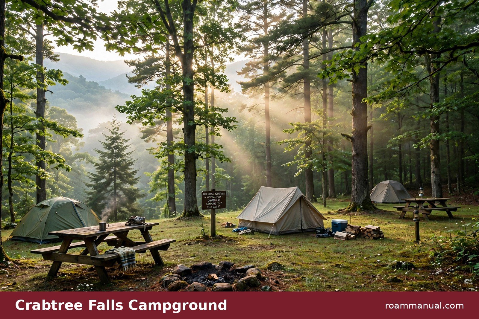
2026 status: Crabtree Falls Campground is closed for the entire 2026 season because of Hurricane Helene damage. The campground sits at Milepost 339.5 in a 253-acre recreation area along the Parkway.
In a normal season, it is one of the most convenient bases for exploring this stretch of the mountains. The falls trail starts at the campground, and Mount Mitchell State Park lies about 15 miles to the south.
In a normal season, the campground holds 81 sites across two loops. Of those sites, 27 are reservable through Recreation.gov and 54 are first-come, first-served.
Sites cost $30 per night, with a 50 percent discount for Senior and Access pass holders.
In a normal season, the campground offers these amenities:
- Flush toilets
- Drinking water
- A dump station
- Picnic tables
- Fire rings
- Firewood for sale
There are no showers and no electric, water, or sewer hookups.
A limited number of sites can fit RVs or vehicle-trailer combos up to 55 feet long, though most sites suit smaller rigs and tents. Four sites are wheelchair accessible.
The campground is closed for the entire 2026 season while Helene repairs continue. When it reopens, reserve ahead for weekends and fall color season, since the reservable sites fill early.
For other places to camp nearby, see our Blue Ridge Parkway camping guide.
Getting There and Parking
Crabtree Falls is easy to find when the Parkway is open. From Asheville, drive north on the Blue Ridge Parkway about 40 miles to Milepost 339.5. The trailhead parking area sits just off the road near the old camp store.
Little Switzerland, about 7 miles away, is the nearest town for gas, food, and supplies. Burnsville lies farther west and offers more dining and lodging options. Cell service is spotty along this stretch, so download directions before you leave.
The parking lot fills on fall weekends and summer Saturdays. Arrive before 10 a.m. for the best chance at a space during peak season. A picnic area at Milepost 340.2 makes a good lunch stop before or after the hike.
Best Time to Visit Crabtree Falls
Spring brings the heaviest water flow and the most wildflowers. April and May are lovely, with rhododendron thickets greening up along the trail. The falls run strongest after rain, so a wet spring makes for the most dramatic photos.
Summer is warm and lush, and the cool spray at the falls feels great on a hot day.
Go early to beat both the heat and the crowds. September is a favorite month for this trail, with mild weather and thinner crowds.
October brings fall color to the surrounding ridges, and this is the busiest time on the Parkway. Expect full parking lots on October weekends.
Winter hikes are quiet and the falls can freeze into striking ice formations, but check road conditions first, since the Parkway closes sections in ice and snow.
Crabtree Falls, Virginia: The Other Falls
If you are actually looking for the Virginia waterfall, here is what you need to know. Crabtree Falls in Virginia is a very different hike from the North Carolina one, and it deserves its own trip.
The Virginia falls lie in the George Washington National Forest in Nelson County, off VA Route 56 (Crabtree Falls Highway) near Montebello.
From I-81, take exit 205 and follow signs east through Vesuvius, then continue on Route 56 to the Crabtree Falls Day Use Area entrance.
Five major cascades drop a total of about 1,200 feet down the mountainside, though topographic maps put the true total closer to 1,000 feet.
The tallest single cascade drops about 400 feet, which gives Crabtree Falls the title of tallest vertical drop in a waterfall east of the Mississippi River.
The U.S. Forest Service maintains a moderate 2.7-mile trail that climbs alongside the cascades. Most hikers cover about 3.2 to 3.5 miles round trip with roughly 1,100 to 1,400 feet of elevation gain.
Plan on two to three hours. Wooden stairs and railings help on the steep sections, and five overlooks give different views of the falls.
The first overlook is a short, paved, wheelchair-accessible walk from the parking area, so even non-hikers can see part of the falls.
There is a small parking fee, usually around $3, so bring cash in case the pay machine is down.
One serious warning: stay on the trail and behind the railings. Since the Forest Service began tracking incidents in 1982, about 30 people have died after slipping or leaving the trail near the Virginia falls.
The rocks are steep and slick, and the drop-offs are severe.
FAQs
How tall is Crabtree Falls in North Carolina?
Crabtree Falls in North Carolina is about 60 feet tall. Do not confuse it with Crabtree Falls in Virginia, which is a series of cascades totaling about 1,200 feet.
How long is the Crabtree Falls NC trail?
The full loop is 2.5 miles with about 574 feet of elevation gain. Most hikers finish in one to one and a half hours.
You can also hike 0.9 miles down to the falls and back the same way for a shorter 1.8-mile round trip.
Is the Crabtree Falls trail open in 2026?
Yes. Hurricane Helene damaged the Parkway near Milepost 339.5, but the road reopened in October 2026, so the trailhead is reachable by car again. Only the campground is closed, for the entire 2026 season.
Check the NPS Blue Ridge Parkway road status page before your visit, and respect all closures, since closed sections are off limits to hikers too.
Can you swim at Crabtree Falls NC?
Swimming is not encouraged at the base of the falls. The rocks are slick, and water flow can surge after rain.
Many visitors wade at the edges of the pool on calm days, but stay on the marked viewing areas and keep a safe distance from the falling water.
Is Crabtree Falls Campground open?
No. The campground is closed for the entire 2026 season because of Hurricane Helene damage.
In a normal year it offers 81 sites at $30 per night, with 27 reservable through Recreation.gov and 54 first-come, first-served. Check Recreation.gov for updates on reopening.
Where do you park for Crabtree Falls NC?
Park in the trailhead lot at Milepost 339.5 on the Blue Ridge Parkway, near the old camp store.
If you are camping at Crabtree Falls Campground when it reopens, you can start the trail from the campground kiosk, about 0.3 miles from the main trailhead.
Which Crabtree Falls should I visit, NC or Virginia?
Pick North Carolina for a short, shady 2.5-mile loop to a single 60-foot waterfall right off the Blue Ridge Parkway.
Pick Virginia for a longer, steeper 3-plus-mile climb beside five towering cascades in the George Washington National Forest. The Virginia hike is more dramatic but also more demanding and more dangerous off trail.
Are dogs allowed on the Crabtree Falls trail?
Yes, dogs are welcome on the North Carolina trail but must stay on a leash. Bring water for your dog, since the climb back up is steep and there are no water stations along the trail.
